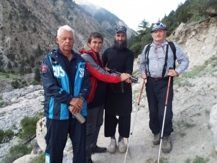
The fifth stage of the international project "The Russian Heritage of the Himalayas: The Continuation of the Way" has been completed. The members of the expedition, which started in the Pakistan city of Multan on July 18, explored the physico-geographical features of the region, they collected ethnographic material, got acquainted with the history, religion and culture of Pakistan.
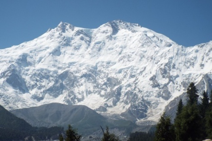
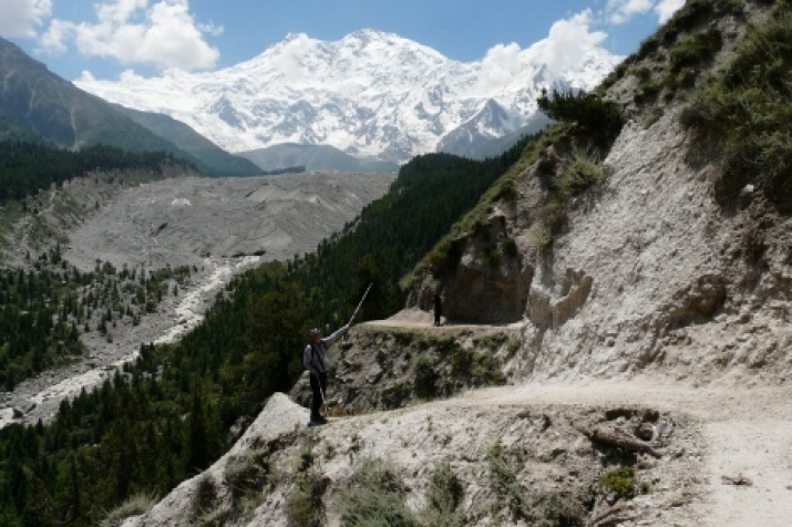
As the head of the exhibition, deputy chairman of the Krasnodar regional branch of the Society, doctor of geographical sciences, honored traveler of Russia, professor Yuri Efremov noted, the main result of the research was the receipt of new data on the geography of the northwestern end of the Himalayas. A route to one of the highest peaks of the world - Mount Nanga Parbat (8125 m) was described, there was made an ascent to the panoramic point (5215 m) of this mountain, there was specified the orography of the region where the following three mountain systems: the Himalayas, the Karakorum and the Hindu Kush converge.
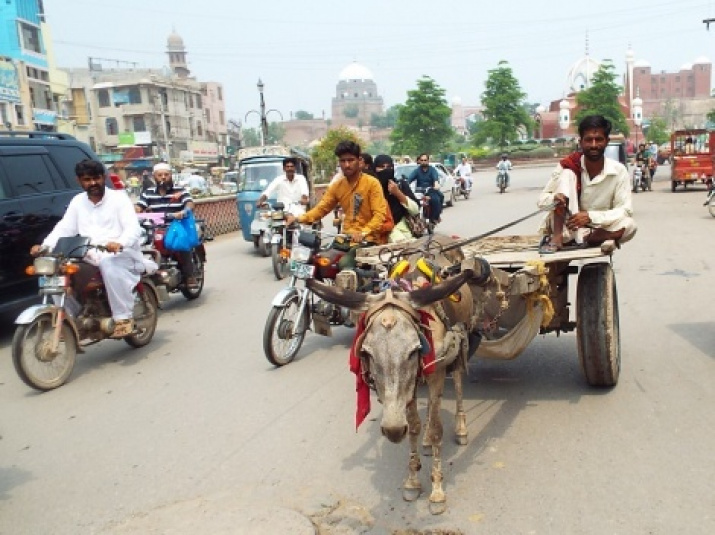
The Russians got acquainted with archeological and historical monuments in the cities of Multan, Lahore and Islamabad. They reached the northern territories of Gilgit-Baltistan on the Karakoram Highway, and they visited the distant valley of the mountain river Hunza as well.
We should remind you that the international project "The Russian Heritage of the Himalayas: The Continuation of the Way" was organized by the Krasnodar Regional Branch of the Russian Geographical Society. It started in 2015, and it was supported by the grant of the Russian Geographical Society in 2016. The main objective of this scale expedition is to update the heritage of Russian travelers, artists and researchers of the Himalayan mountain system, to conduct complex scientific research and to create the world's first collection of paintings "Bouquet of Vertex", which will capture all the eight thousandth of the planet. The project participants have already studied the territories of Nepal, Bhutan, India, China (Tibet).
The results of Karakorum-Himalayan mountain system research will be placed in the monograph "Geography of the Himalayas". This monograph will be issued by the Krasnodar regional branch of the RGS with the grant support of the Society. The book with color illustrations will be published both in Russian and English languages in the beginning of 2018.


