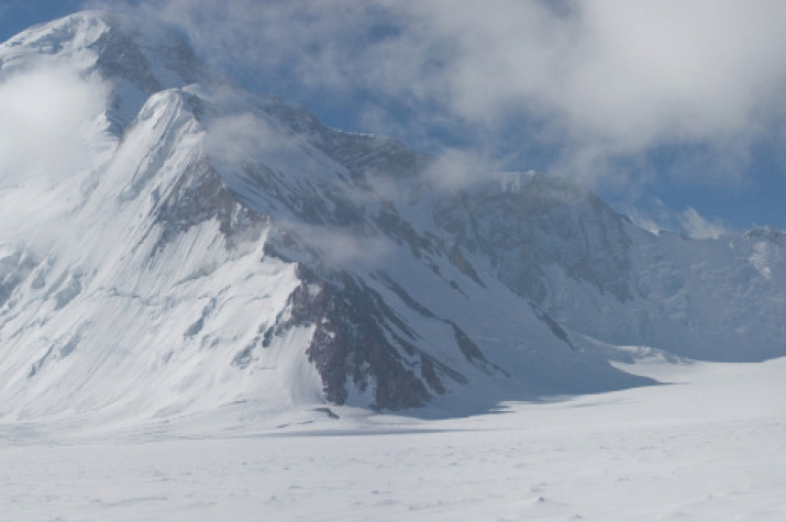
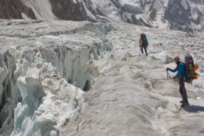
This summer, an expedition of Tajik scientists discovered major changes on the glacier of the Geographical Society in the Pamirs. According to their observations, a lake about 200 meters long formed on its surface due to the melting of the glacier.
The Glacier of the Geographical Society is located in the Central Pamir on the territory of the Republic of Tajikistan. It is located in the headwaters of the Vanchskaya valley at the junction of the Darvaz and the Academy of Science ranges. It is the largest glacier in the basin of the Vanch River (in the headwaters - Abdukagor). Its length is 24.2 km, the surface area is 64.4 km². The glacier was discovered in 1882 by Peter Kostenkov and Peter Besedin. The name was given in 1928 by Pamir researcher, military surveyor, member of the Russian Geographical Society Ivan Dorofeev. The traveler named the glacier in honor of the Russian Geographical Society.
"The effects of global climate change are observed on this large glacier in the Central Pamir. A huge lake formed on the surface of the glacier. This is an alarming signal. Under the influence of the water body, a part of the glacier can move, split off and block the mouth of the Abdukagor River, and the population of Vanch Valley can be under the threat of flooding in the event of a breakthrough", said Abdulhamid Kayumov, the director of the Center for the Study of the Glaciers of the Academy of Sciences of the Republic of Tajikistan.
In turn, Russian scientists believe that the formation of the lake does not pose a threat to the population of the region. In their opinion, this is a natural phenomenon, that is not connected with global warming.
“The RGS glacier belongs to the “surging glacier". Such glaciers experience systematic movements: they come - they increase, and then they are restored to their former sizes. For example, three kilometers from the RGS glacier is the most studied glacier in the Pamirs - the Bear. This one "pulsate" every 10-15 years, - said the glaciologist, the head of the Laboratory of the Earth Remote Sensing of the Institute of Geography of the Russian Academy of Sciences, the Candidate of Geography Sciences Lev Desinov. - During recovery periods, lakes can form - this is a kind of glacier unloading. Even if lake appeared on the surface of the RGS glacier, it will not lead, to overlap of the Abdukagor River - in course of time the lake will fall over into the cracks and disappear".
“The formation of lakes is the ordinary life of a glacier, that is not directly connected with global warming”, said the glaciologist, the Honorary President of the Russian Geographical Society, the Academician of the Russian Academy of Sciences Vladimir Kotlyakov.
Nevertheless, the Laboratory of the Earth Remote Sensing of the Institute of Geography of the Russian Academy of Sciences plans to monitor the state of the glacier of the Geographical Society closely. In 2019, new space images will be made and it will be possible to specify the size of the lake. Tajik scientists also intend to continue to monitor the glacier using satellite systems.


