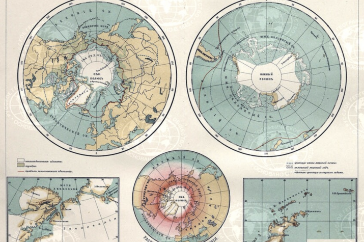
A collection of old geographical school atlases has been published on the Geoportal of the Russian Geographical Society specially for the beginning of the school year. The originals of the atlases are in the Cartographic Fund of the Russian Geographical Society in St. Petersburg. The editions were scanned with the support of the “Mir” National Payment Card System.
On the collection page, everyone can get acquainted with the "Atlas of the Russian Empire, according to the latest division into provinces and oblasts" published in 1807 and 1818, "Detailed atlas of the Russian Empire" published in 1841, "Educational atlas of the Russian Empire" published in 1852, and many other atlases released specifically for use in educational institutions.
The "Educational geographical atlases by E.Yu. Petri" published in 1898 and 1912, also included in the collection, are particularly noteworthy among the atlases recently published on the Geoportal of the Russian Geographical Society. The atlases of the Russian geographer and ethnographer, Chairman of the Russian Anthropological Society, Eduard Yulievich Petri, contain information about both the general geography of the world and individual regions of the country.
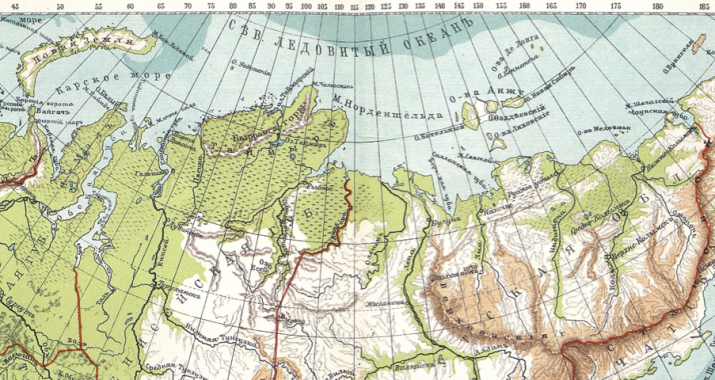
Interestingly, when comparing the two published editions of the atlas, one can see how the coastline of the mainland coast of the Arctic zone was refined over time, and the outlines of the islands changed as knowledge about the region was accumulated. In the atlas of 1912, the coasts of Taimyr and Yamal are plotted much more accurately, but the most inaccessible places are still poorly explored - the Severnaya Zemlya archipelago is absent on the maps, and Wrangel Island is plotted only approximately. This shows that by the twentieth century, hard-to-reach territories still remained on the territory of our country, just awaiting their researchers.
The collection of old school atlases on the Geoportal of the Russian Geographical Society will be constantly updated.
The geoportal of the Russian Geographical Society is an electronic resource that contains collections of historical, topographic and special cartographic materials. All of them come from the funds of the Russian Geographical Society and its partner organizations . The cartographic collection of the Russian Geographical Society began to form from the moment of its foundation in 1845. Today it contains over 40 thousand unique atlases and maps. This collection is regularly updated with the help of cartographic and geo-information materials issued with the grant support of the Society.


