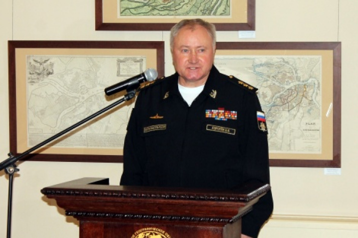
In the Small Hall of the Headquarters of the Russian Geographical Society in St. Petersburg there was open the exhibition of the maps from the funds of the Russian Geographical Society and the Department of Oceanography and Navigation of the Ministry of Defense of Russia. «Today we are opening a new stage in the implementation of the Agreement between the Russian Geographical Society and the Russian Navy. This exhibition represents the beginning of how Russia became a great maritime power and is deeply symbolic that we are opening it on the eve of the celebration of the Russian Navy», - the commander of the Russian Navy Vladimir Korolev. emphasized.
The exposition is devoted to the marine mapping of the eastern part of the Gulf of Finland - the very same «window to Europe», cut through by Peter the Great with the help of the Russian fleet more than three hundred years ago. Then there were founded St. Petersburg and Kronstadt in order to protect the new frontiers in the Baltic, they became the largest centers for the development of naval affairs in Russia.
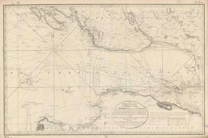
The materials of the exhibition cover the period from the XVIII to the beginning of the XXth centuries and are giving an opportunity to demonstrate the change in the principles of drawing up marine charts in process of time. There are presented mainly navigational maps of the eastern part of the Gulf of Finland and the mouth of the Neva, supplemented by colorful plans of St. Petersburg and Kronstadt at the exposition.
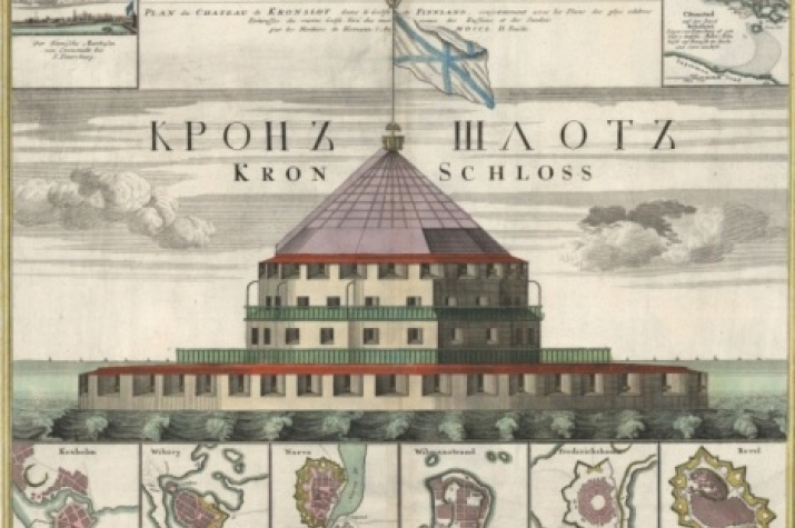
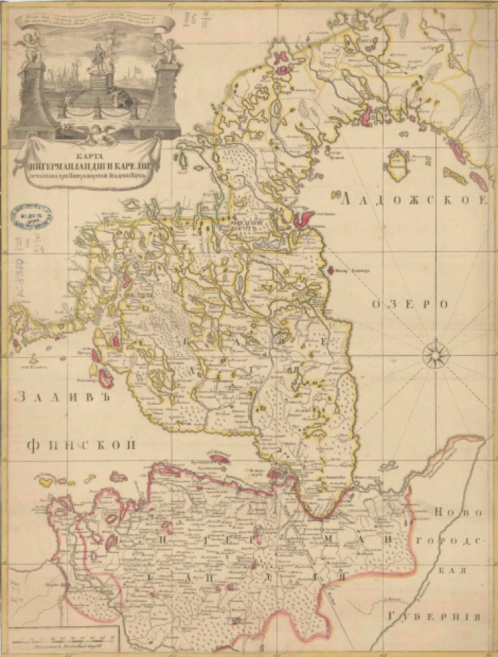
In particular, the visitors can get acquainted with the most interesting copies of cartographic art of the XVIII-th century, featuring excellent decoration, such as the «Plan of the Fortress «Kronshlot» in the Gulf of Finland», «The Gulf of Finland from Kronstadt to St. Petersburg with amusing houses lying on the banks», «The Map of Ingermanland and Karelia» and other.
The Cartographic fund of the Russian Geographical Society coumts about 40,000 maps and atlases illustrating the development of domestic and foreign geography and cartography. The collection was formed due to the gifts of individuals, purchased publications, the materials from personal libraries of scientists - the members of the Society, working materials of the researchers. Due to this, the composition of the collection is very diverse and contains valuable information about the history of geographical research, the formation of a picture of the world and the improvement of scientific methods in the natural sciences throughout the late 15th-20th centuries. One of the most important structural parts of the RGS Cartographic Foundation is naval maps and atlases.
The most valuable materials of the major hydrographic expeditions of the XIX century are presented in the works of Admiral, General-hydrograph of Gavriil Andreevich Sarychev and the Chief of Hydrographic depot Feodor Fedorovich Schubert.
Besides, at the exhibition you can see the plans of St. Petersburg. «Topographic image of the New Russian capital ...» , issued by the Nuremberg cartographer and engraver Johann Baptist Homann during Peter the Great's journey through Western Europe in 1716-1717. The plan reflects both the actual (by the beginning of 1718) and the proposed development of the city. «The plan of the Imperial capital city of St. Petersburg, created in 1737», - is noteworthy as well. It is the first schematic representation of St. Petersburg, compiled by the Academy of Sciences on the basis of precise geodetic measurements.
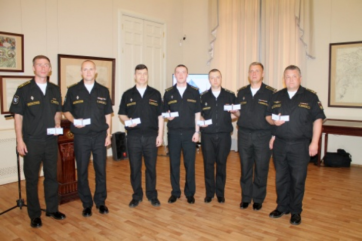
The Vice-President of the Russian Geographical Society Vladimir Razumovsky and the Commander-in-Chief of the Russian Navy Vladimir Korolev handed the RGS membership cards to the officers of the Main Navigation and Oceanography Directorate of the Russian Defense Ministry at the opening ceremony of the exhibition.
Opening hours: from July 19 to August 4, from 11:00 to 19:00 on working days. Free admission. Information by the phone (812) 315-85-35.
The Archive 280 of the Central Cartographic Production of the Navigation and Oceanography Directorate of the Ministry of Defense of the Russian Federation is being one of the oldest cartographic collections in our country. It dates back to the year of 1777 and has more than 60,000 maps. Among them there are 1620 cards, which have undoubted value for the history of domestic cartography. Besides, the archive funds carefully store 10300 navigation aids and book editions, as well as 5100 card forms.

