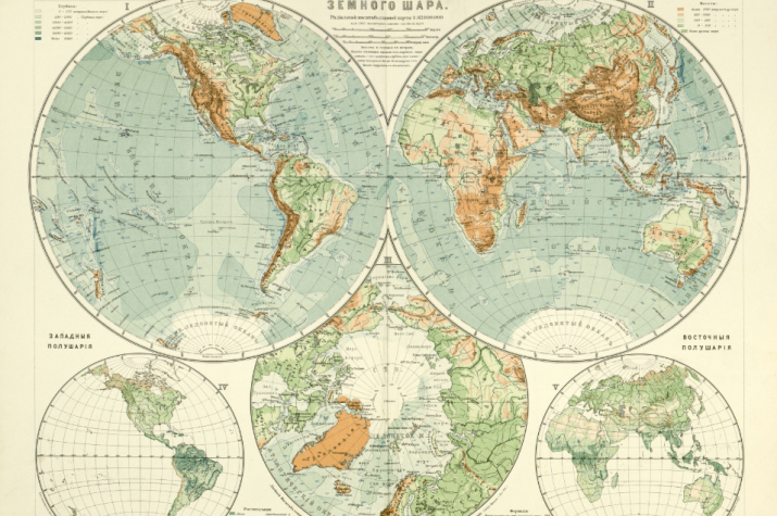
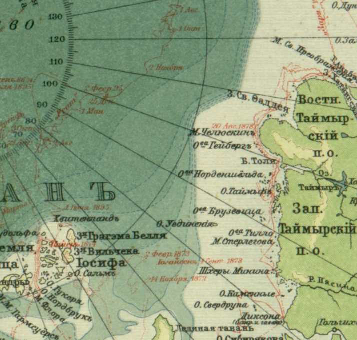
The Geoportal of the Russian Geographical Society published the most comprehensive to date collection of publications of the Great World Atlas of Marx - a reference book-atlas for several generations of Russian geographers of the early 20th century.
The atlas was published at the initiative of the famous publisher Adolf Marx. Work on the atlas was started by a member of the RGS Eduard Petri. Yuli Shokalsky became the head of the works on publishing the atlas after his death.
Publisher Adolf Marks turned to Veniamin Semyonov-Tian-Shansky, the editor of the "Russia" Devrienov publication, with a proposal to bring the Great World Desktop Atlas, rmained unfinished, to a close. Professor Petri and his students had been working on the atlas for several years before death of a professor. After reviewing the atlas and making sure that the maps of Russia in the atlas had to be not just added, but also there was needed considerable reworking with the cost of considerable time, the editor of Russia, in view of the workload, refused this offer and recommended Marx to seek assistance from Yuli Shokalsky. Marx did as it was suggested. Under Shokalsky's editorship, the publication was promptly and successfully completed and published in 1905 after the death of the publisher, as well as the Petri atlas training. These works made the name of Yuli Mikhailovich Shokalsky very popular not only in Russia, but also abroad.
The atlas contains 62 main and 160 additional maps, the second edition is supplemented with an alphabetical index. The maps provide information with a general description of the physiographic conditions and levels of social and economic development in the entire globe. In addition to general information, the atlas contains maps for individual large regions (continents and parts of the world) and for their individual territories. This approach provides the reader with the opportunity to explore regions at various scale levels: from global to local.
The atlas was digitized in the framework of cooperation with the National Payment System "Mir".


