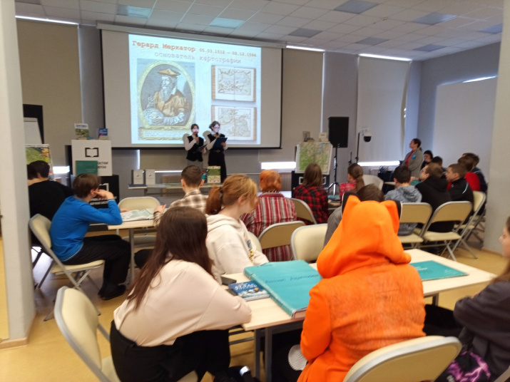
Traditionally, on March 15, as a way to celebrate the Day of Geodesy and Cartography Workers, a cartographic seminar "Historical Dictation" is held at the Murmansk State Regional Universal Scientific Library. The students of the Gymnasium №9 hosted the event. This year it was dedicated to the 15th anniversary of the creation of the Federal Service for State Registration, Cadastre and Cartography and to the 170th anniversary of the naming of the Barents Sea, which was named in 1853 in honor of the Dutch navigator Willem Barents by German cartographer and geographer August Peterman.
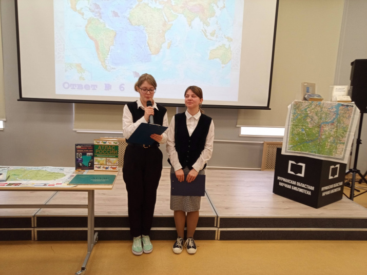
Participants from schools № 21 (3 teams), 43 (2 teams) and 56, Lyceum № 2, Gymnasium № 9, Murmansk Branch of the Nakhimov Naval School, the Center for Youth Tourism were greeted by leading engineers of the Department of the Federal Register for the Murmansk region, who told them about their organization and the work of employees of different departments. The children were particularly interested in information about aircraft control classes and details of compiling information for the cadastre. Engineers encouraged young people to choose their profession and wished them good grades.
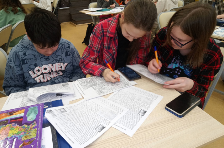
Alyona Bakhtina, a representative of the Local History Department of the Library, presented interesting facts about the study of the Barents Sea and conducted a warm-up quiz before the workshop. The participants learnt facts related to the development of the Arctic Ocean, mapped the results of their findings from the atlases.
The most winners were: "Karasiki" from school №21, "Topchiki" from school №43, and teams from Lyceum №2, Murmansk Branch of the Nakhimov Naval School, and the Center for Youth Tourism.


