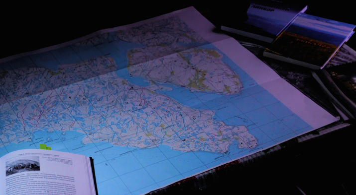
Sredny and Rybachy peninsulas are significant for Russian history and geography. Having turned from fishing and trading camps of the Pomors of the XVI century into a “Granite battleship” (this is what Sredny and Rybachy peninsulas are called sometimes) during the Great Patriotic War, each year the Sredny and Rybachy peninsulas attract more and more researchers, as well as tourists who dream of visiting the North, experiencing its harsh beauty and exploring historical places.
The expedition's main objectives were to survey the battlefields of the Great Patriotic War, search for the remains of soldiers, investigate the state of war memorials and military graves, study and describe the nature of the Russian North and search for historical artifacts related to the traditional culture of the Russian Pomors.
In total, 15 people from the Murmansk region and St. Petersburg participated in the expedition.
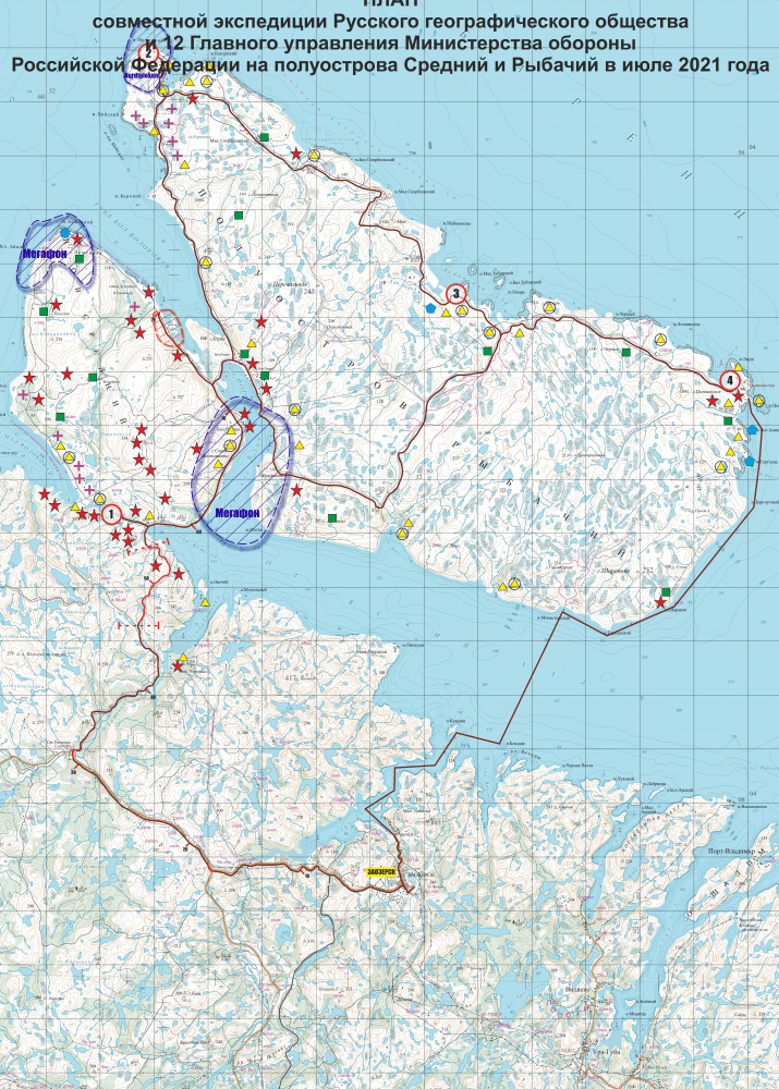
The expedition began near the waterfall of the Titovka River. This is where the border between the USSR and Finland was in 1920-1944.
The route went along the eastern and northern shores of the Sredny Peninsula. Near Pummanki, the former settlement of colonists from Finland, the participants set up a camp.
The members of the search group, Rustam Valiullin, Sergey Mukienko and Pavel Tabaev, drew diagrams of the positions of the Soviet troops' stronghold on the hills 234.4 meters high. This is where the machine-gun battalion of the 135th rifle regiment was fortified in 1941.
Soviet soldiers from the stronghold needed to prevent the landing of enemy troops in the area where our troops were.
After that, the research group headed to Cape Nemetsky, and the search group moved to the Mustatunturi ridge. Cape Nemetsky is the northernmost continental point of the European part of Russia. There is a weather station located there, a bay called Vaida-Guba and a lighthouse of the same name.
The word "vaida" is a Finno-Ugric toponym. It goes back to the Finnish verb vaihtaa meaning "to change, to exchange". This is where the Russian state was actively trading with Europe.
While surveying the Anikeyev Islands, the members of the expedition also had a chance to enjoy the picturesque views of the Barents Sea.
On the way to Cape Sharapov, passing the island of Bludtse, they were able to see a rookery of seals,
and a large bird colony, the so-called Gorodetsky bird bazaars. The Gorodetsky bird bazaars is a protected natural area.
Bolshoy Anikeev Island takes special pride in the colony of northern gannet nesting near the Cape Tsyp-Navolok. The northern gannet is in the Red Book of the Murmansk region.
The most important historical and cultural landmark of Bolshoy Anikeyev Island is a slate slab. The seamen who entered the harbors of Murman and Rybachy in the XVI-XIX centuries left their signatures there. The expedition participants Roman Kulik, Maxim Sobolev, Alexey Ponomarev found 24 inscriptions in Russian and 48 Scandinavian signatures on the island. The oldest inscription was made in Norwegian in 1510. The very first Russian inscription dates back to 1650.
Along the route of the expedition, there were worship crosses on the hills and on the shore. This tradition has ancient roots, crosses were very common among the Pomors and were used in navigation.
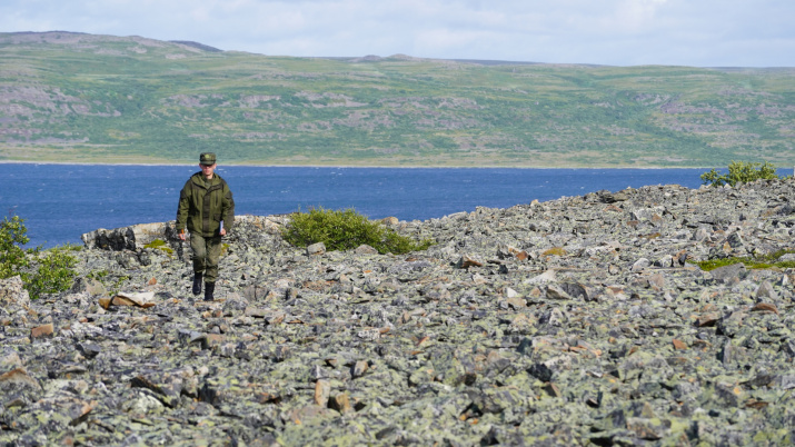
One of the goals of the expedition was to study the Mustatunturi granite ridge (Mustatunturi means "black tundra" in Finnish). The ridge separates the Sredny Peninsula from the mainland.
It is noteworthy that the Mustatunturi ridge is the only place where German troops were stopped on the first day of the offensive (June 29, 1941). It was possible thanks to the artillery support from the ships of the Northern Fleet.
Thanks to the Arctic climate, household items, elements of weapons and military equipment are preserved in good condition and literally lie under your feet. The participants of the expedition under the leadership of Yevgeny Shekhovtsov managed to find a German strong point. Its engineering equipment showed how secure the enemy defense was: tunnels made in the rocks with a length of up to 50 meters were protected from all sides by high-explosive flamethrowers. When examining the surface using metal detectors, the participants of the expedition found a large number of fragments of ammunition and equipment: steel helmets, gas masks, flasks, weapons elements, and parts of artillery shells.
A large number of empty bottles of schnapps, cognac, wine and champagne were found on the German positions. The participants of the expedition also examined the positions of the Soviet soldiers located only 70-100 meters away from the German ones. Among the items of equipment and fragments of weapons, grenades produced during the First World War were found. They also managed to find a locket of the 1928 model of the Red Army with a personal number of the soldier. However, it was impossible to determine who it belonged to, so they decided to transfer it to specialists to restore the inscriptions on it.
All the places with unexploded ordnance were marked on the map. They were reported to the relevant authorities for them to make decisions on their neutralization. The elements of weapons, equipment and household items will be transferred to the museums of the Murmansk region after the restoration.
The memorials of the Great Patriotic War deserve special attention. One of them is located on the mass grave of the marines, on Mount Peremetnaya of the Rybachy Peninsula. It was installed in 1947. Another one, a monument to the defenders of the Sredny and Rybachy peninsulas, is located on the Pass, to the left of the road, on a slope 109 meters high. The inscription on it says: "Stop and bow your heads." And it is impossible not to stop, not to bow your head. You can't help but think about how bright and clear the message of the monuments is. While visiting these places, you become more aware of the tragic events that took place and understand at what cost the soldiers managed to stop the enemy.
There is no doubt that such expeditions should not only help people learn about the region, learnt to develop it carefully and diligently, they can also become the basis for the unity of Russian residents of all ages, professions and social positions.
By Dmitry Novikov and Alexandra Sozina


