
From now on, it will be easier for tourists and locals to find the geographical center of the Murmansk region. Its exact location was determined by specialists of the Murmansk Regional Branch of the Russian Geographical Society.
Coordinates of the geographical center of the Murmansk region: 68º 00’ 15” N and 35º 00’ 35” E. In 2018, the opening ceremony of the "Geographical Center of the Murmansk region" sign took place in the village of Lovozero. The event was timed to coincide with the 80th anniversary of the region. The sign was a gift from the Murmansk Regional Branch of the Russian Geographical Society to the region.
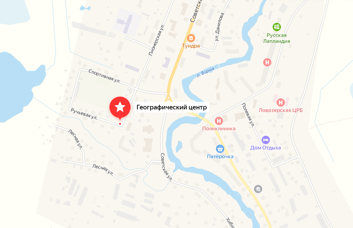
The sign appeared on the map on the corner of Pionerskaya and Rucheva streets in the village of Lovozero.
In 2016, Roman Ivanov, a student of school No.5 in Kirovsk, conducted a study under the guidance of his geography teacher Lyudmila Yenikeeva in order to determine the geographical center of the Murmansk region. He sent the results of his work to the Murmansk Regional Branch of the Russian Geographical Society.
Cartographers of the Murmansk Regional Branch of the Russian Geographical Society specified the location of the geographical center of the region using modern geoinformation technologies (68º 00’ 15” N and 35º 00’ 35” E), reconnoitred the area and designed the sign.