The Historical Landscape Expedition: “The Urals – The Border of Europe and Asia”
The Historical Landscape Expedition “The Urals – The Border of Europe and Asia” is an extensive one-year long project of the Russian Geographical Society. In the course of the project the researchers will tread along the suggested border between Europe and Asia from the Kara Sea (the Yugorsky Strait) and up to the north-east shore of the Caspian Sea (Komsomolets Bay in Kazakhstan’s Mangystau Province).
It is a widely accepted axiom that the Ural Mountains divide Europe and Asia. In the middle of the 18th century by the initiative of Vasily Tatishchev the center part of the Ural Mountains officially became the border of Europe and Asia. Earlier in the history, the border was “mapped” along the rivers Tanais and Don, according to Herodotus; along Volga and Kama rivers, according to Arabic sources; and even the Ob river, according to Delille. Even towards the end of the 19th century, the Orenburg General-Governor Nokolai Kryzhanovsky in his speech at the opening ceremony of a local branch of Emperor’s Russian Geographical Society, said that “Geographers have accepted the ridge of the Ural Mountains and River Ural to be a border between Europe and Asia. Others ignore the opinions of the geographers of Russia and Europe and state that Asia starts right on the eastern bank of Volga River. Therefore, the cities of Orenburg, Ufa and others should be considered part of Asia.”
So, where exactly does Asia meet with Europe?
In the course of three centuries the Ural Mountains have been identified by world science and culture as the border of two parts of the world. Nevertheless, a more precise border between Europe and Asia still needs to be determined. Specialists seems to be unanimous regarding the location of some sections of the border, such as the stretch from the Kara Sea coastline along Pai Khoy and further along the Ural-Tau mountain ridge up to the head of the Belaya River, (flowing into the Volga River), the Ural River (flowing into the Caspian Sea) and the Uya (flowing into the Arctic Ocean). The southern part of the border between Europe and Asia, suggested by Vasily Nikitich Tatishchev is questionable. First, the main ridge in this area continues into at least three branches. Second, the Ural Mountains lose their role as the main water dividing ridge, which moves to the south of the Ilmen Mountains. Third, south of 51° 520’ north latitude the mountains “disappear”, which allows the Ural River in the areas of the Orsk Gates and the “Guberlinskoe ushchel’e” to cut through the whatever is left from the Ural Mountains and flow further to the south-east part of the Eastern-European plateau, the near Caspian lowland and ultimately into Europe. In the middle of the 19th century, Nikolai Severtsev wrote: “From the point of view of natural sciences, the two banks of the Ural River are identical. It [the Ural River] does not divide anything, it simply flows across the Kirghiz steppe.” The question arises – where is the border between Asia and Europe located south of Zlatoust?
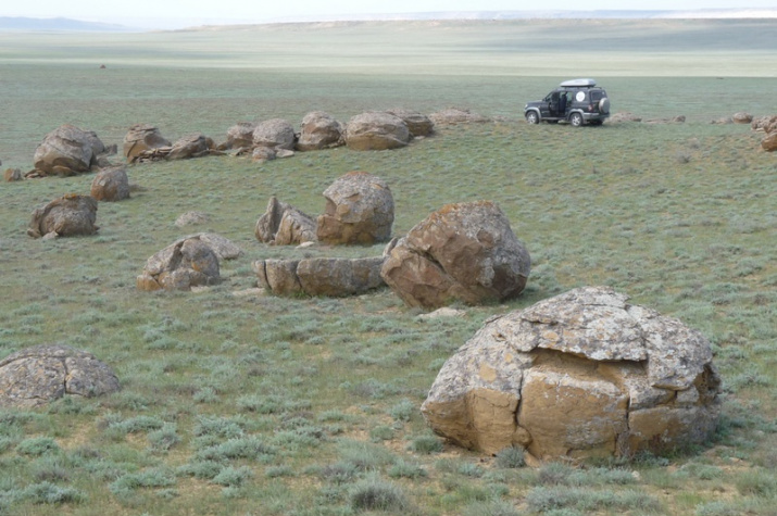
The team of twelve participants of the expedition from Orenburg and Kazakhstan hope to be able to answer this question. The first leg of the itinerary goes from Orenburg to Uralsk, then further to Atyrau, Mangyshlak, the Caspian Sea, Severny Ustyurt, Mugodzhary, and back to Orenburg. The expedition will follow the footsteps of the scientists and topographers of the 19th century, some of which were Grigory S. Karelin, Vladimir D. Volkhovsky, Eduard F. Eversmann, Fedor F. Von Berg among others.
What are the anticipated results of the expedition?
By the end of the project we expect not only to show a complete and contemporary course of the border between Europe and Asia from the Kara Sea to the Caspian Sea, but also to ensure that contemporary textbooks reflect those changes. We will also develop a travel guide giving a comprehensive overview of travel along the border. We will place markers on the southern and northern ends of the Urals Mountains, make recommendations for establishing new reserves, national parks and tourist routes along the border between Europe and Asia in the territory of the Russian Federation and Kazakhstan. We hope that our efforts will also create a positive social environment for the local peoples (Nentsi, Khanty, Mansi, Bashkirs, and Kazakhs) and attract investment to the region.
The most important task in finding the geographic border is not only to identify “the line” that divides Europe and Asia, but particularly to find the line that unites the two continents.
- Itinerary of the Expedition “The Urals – The Border of Europe and Asia”.
- Project Description
- Anticipated Results
Project Executing Entities: Orenburg Branch of the Russian Geographical Society and Institute of Steppes of the Russian Academy of Sciences.
Head of the Expedition
Alexander A. Chibilyev, Member – Correspondent of the Russian Academy of Sciences, Head of the Orenburg Branch of the Russian Geographical Society
Participants:
A. A. Sokolov (1980), Scientific Secretary of the Orenburg Branch of the Russian Geographical Society
P. V. Velmovsky (1975), Ph.D. in Geography
V. M. Pavleychik (1971), Ph.D. in Geography
A. A. Chibilev (1989), Geography Student
Others, including participants from Kazakhstan (total 9 people)
Itinerary of the Expedition “The Urals – The Border of Europe and Asia”.
Leg III (July – August)
Syktyvkar – Upper Pechora River – Mountain Narodnaya – Vorkuta – Mouth of Kara River – Pay Khoi – the Yugorsky Strait.
Leg II (June – July)
Orenburg – Orsk– Irikla – River Head of the Ural – Yekaterinburg – Upper Pechora River.
Leg I (April – May)
Atyrau – Mangyshlak – the Caspian Sea – Severny Ustyurt – Mugodzhary – Orenburg.
Project Description:
- Explore the areas where the border between Europe and Asia is believed to be located via all-terrain vehicles, helicopters, and boats;
- Conduct archival and cartographic research by analyzing historical maps and manuscripts;
- Analyze satellite images of the areas;
- Find evidence to support a scientific justification for the location of the border between the Europe and Asia;
- Identify ecological and economic grounds for creating new protected natural zones and for creating tourist routes along the border;
- Place markers on the southern and northern ends of the Urals Mountains;
- Design a travel guide and atlas with descriptions of suggested tourist routes;
- Take photographs and make videos of the natural objects and the landmarks of historical and cultural significance.
Anticipated Results:
- Science-based recommendations for establishing a border between the two continents for school textbooks and encyclopedia;
- Markers placed on the southern and northern ends of the Urals Mountains;
- Recommendations for establishing new reserves, national parks and tourist routes along the border between Europe and Asia in the territory of the Russian Federation and Kazakhstan;
- Create a travel guide and atlas “The Urals – The Border of Europe and Asia.”